Ground Penetrating Radar - GPR
GPR (ground-penetrating radar) is a versatile tool for quickly investigating subsurface layer structure and detecting buried objects. The first results can usually already be assessed during fieldwork.

GPR is based on sending high-frequency (typically several MHz up to a few GHz) electromagnetic waves into a material and recording the strength and the time required to return any reflected signal. Reflections occur whenever the radar signal enters into a material with different electrical conduction properties or dielectric permittivity from the material it left.
The strength of the reflection is determined by the contrast in the dielectric constants and conductivities of the two materials. This means that a pulse which moves from dry sand (dielectric of 5) to wet sand (dielectric of 30) will produce a very strong reflection while moving from dry sand (5) to limestone (7) will produce a relatively weak reflection.
Higher frequencies allow better resolution but do not penetrate very deep, whereas lower frequencies provide better depth penetration but less resolution. Thus, the choice of antenna frequency is crucial for the best results.
The subsurface material's electric and dielectric properties govern the radar signal's attenuation. Very conductive materials like clay and salt water attenuate the signal significantly, and thus depth penetration will be very limited in these circumstances.
Georadar is suitable for mapping soil material thickness or stratification in soil material or snow if the depths are insignificant and the groundwater is not saline (which provides high conductivity). In addition, GPR can be used to locate various objects in the ground (pipes, large objects, cavities).

Radar diagram from a swamp area in southern Norway. Rocks were observed at each end of the profile (granitic gneiss), and the reflector visible through the profile is interpreted as the transition to rock / solid masses. The speed of the soil materials is estimated on the basis of the conductivity and permittivity of the swamp material.
NGI's equipment
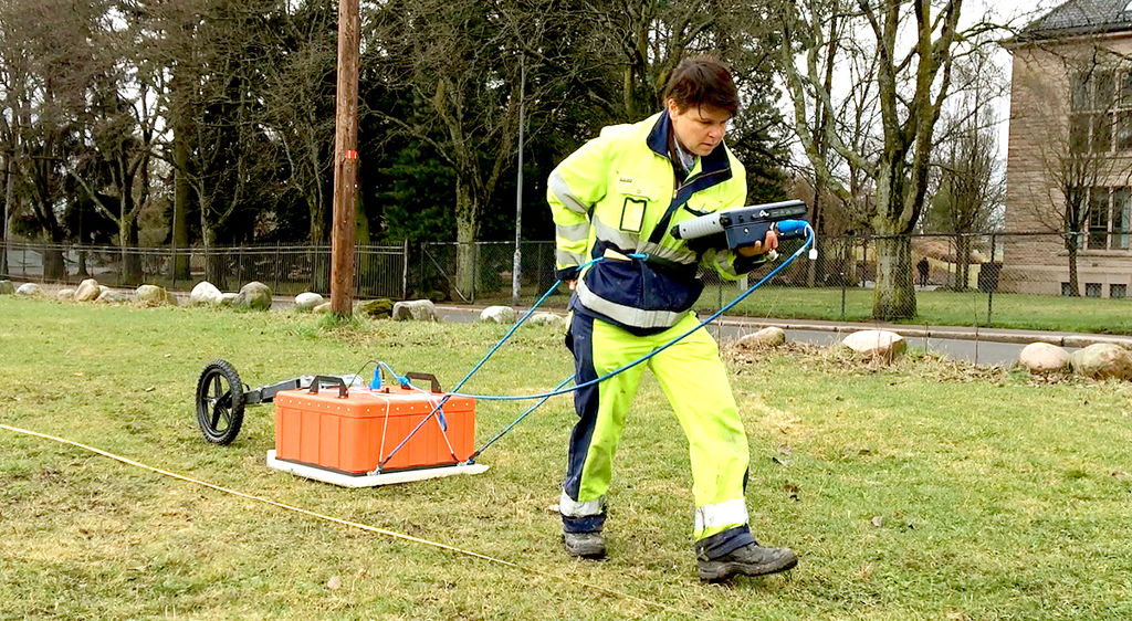
GSSI-SIR 4000 (control unit) and a 200 MHz antenna. Antennas with different frequencies (16 MHz to 2.6 GHz) can be used in cases where 200 MHz is unsuitable. (http://www.geophysical.com/products.htm)
NGI's proprietary step frequency radar (300 kHz to 3 GHz) has been developed and manufactured by NGI since 1989 and exported worldwide. For applications that require more than commercial GPR tools are capable of, the NGI radar can be used with bespoke antenna solutions.

Dyre Oliver Dammann
Head of Section Remote Sensing and Geophysics dyre.dammann@ngi.no+47 930 10 310

Helgard Anschütz
Project Engineer I Remote Sensing and Geophysics helgard.anschuetz@ngi.no+47 936 54 280